Service
Drone volume measurement & stockpile surveys
Aggregate stockpiles, sargassum deposits, cut-and-fill, landfills: every pile is detected, outlined and computed on the digital terrain model — without stopping operations.
Volumes you can defend
A stockpile inventory is counted in cubic metres and in money: it must be accurate, repeatable and documented. Our volumes are computed on the digital terrain model from the flight — structures, conveyors and vegetation excluded from the computation, which changes the figures far more than expected. A conveyor or a machine left in the footprint can account for a non-negligible share of a pile's displayed volume. Our deliverables state the method and the uncertainty: you know what every figure is worth.
The CARIGE method
Low-altitude photogrammetric flight over the working site — no interruption — with RTK targets. Typical accuracy: one centimetre in plan and elevation.
Detection and outlining of every pile, separation of merged piles, exclusion of structures; volumes computed on the true terrain, or between two dates for cut-and-fill.
Per-pile volume table with uncertainties, site orthophoto, campaign-to-campaign comparisons, exports for your operations tracking.
Where we work
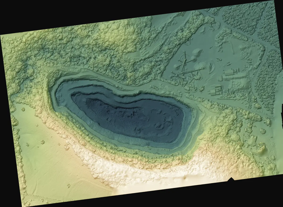
Quarries, platforms, ports and deposit areas across the Caribbean. Regional reference: the estimation of sargassum volumes collected in Martinique. Reference: estimation of sargassum volumes collected in Martinique (2018) and quarry monitoring (remaining reserves). All service areas →
Local presence, ready to deploy
Based locally in the French West Indies, we deploy fast: urgent requests by WhatsApp at +596 696 19 95 82, reply within two hours, quote the same day. We can charter a private aircraft to almost any destination in the region and mobilise nearly the same day. Coverage of up to 1,000 hectares per day (two Matrice RTK drones).
Our automated-detection models — corrosion, deformation, damage, vegetation — are developed in the region, from our own field missions.
Your stockpiles, in solid figures
Tell us the site and the survey frequency you need: we reply with a method, an uncertainty and a lead time.