Service
Precision agriculture by drone
A multispectral sensor sees what the eye cannot: a plant's stress before it becomes visible. Enough to treat the right spot, at the right dose, at the right time.
Seeing the field differently
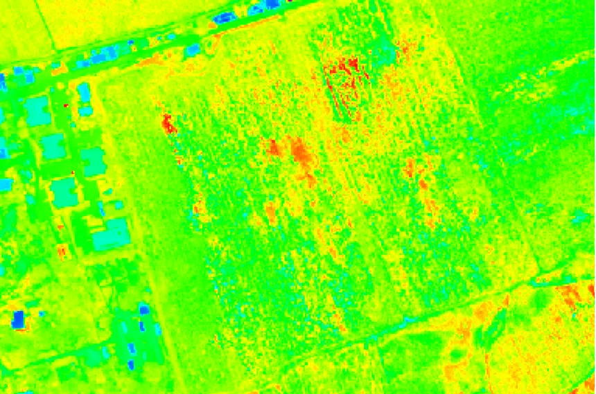
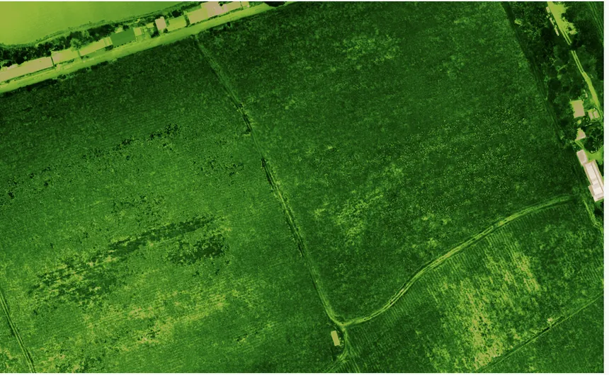
To the eye, a cane or banana field looks uniform until the problem breaks out. The multispectral sensor measures the light vegetation reflects outside the visible: well before yellowing appears, it reveals areas of lower vigour, water stress or attack. You map the field by state, target interventions, cut inputs and passes. Data replaces whole-field guesswork.
The CARIGE method
Low-altitude multispectral flight over the field, calibrated sensor, controlled sunlight conditions for indices comparable from one campaign to the next.
Vegetation index computation (vigour, chlorophyll, cover), detection of abnormal zones, plant counting, delineation of areas to treat.
Per-field vigour maps, prescription maps for variable-rate application, counts, date-to-date monitoring — deliverables that fit your agronomic practices.
Where we work
Martinique, Guadeloupe, French Guiana and the Caribbean — banana, sugarcane, market gardening, orchards. Five-band multispectral sensor, up to 300 hectares covered per day; campaigns on northern Martinique plantations (sugarcane, Domaine Thieubert / Neisson rum). A tropical agronomy we have long known. All service areas →
Local presence, ready to deploy
Based locally in the French West Indies, we deploy fast: urgent requests by WhatsApp at +596 696 19 95 82, reply within two hours, quote the same day. We can charter a private aircraft to almost any destination in the region and mobilise nearly the same day. Coverage of up to 1,000 hectares per day (two Matrice RTK drones).
Our automated-detection models — corrosion, deformation, damage, vegetation — are developed in the region, from our own field missions.
Your fields, as data
Tell us the crop, the area and the agronomic goal: we reply with a flight protocol, indices and a lead time.