Service
Drone photogrammetry & topographic surveys
Centimetre-grade topographic surveys, checked against independent ground targets and documented in a processing report — without keeping a survey crew in the field.
Accuracy proven, not claimed
A survey is only worth what its accuracy proves. Our photogrammetric flights rely on RTK GPS targets: some register the model, others — never used in the computation — serve as independent check points. The delivered report states the measured errors: typically one centimetre in plan and elevation. You know exactly what your data is worth.
From flight to plan
Calculated photogrammetric flight (overlap, altitude matched to the target resolution), RTK targets placed and measured. On difficult or vegetated ground, LiDAR takes over.
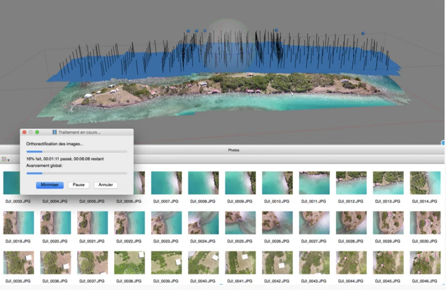
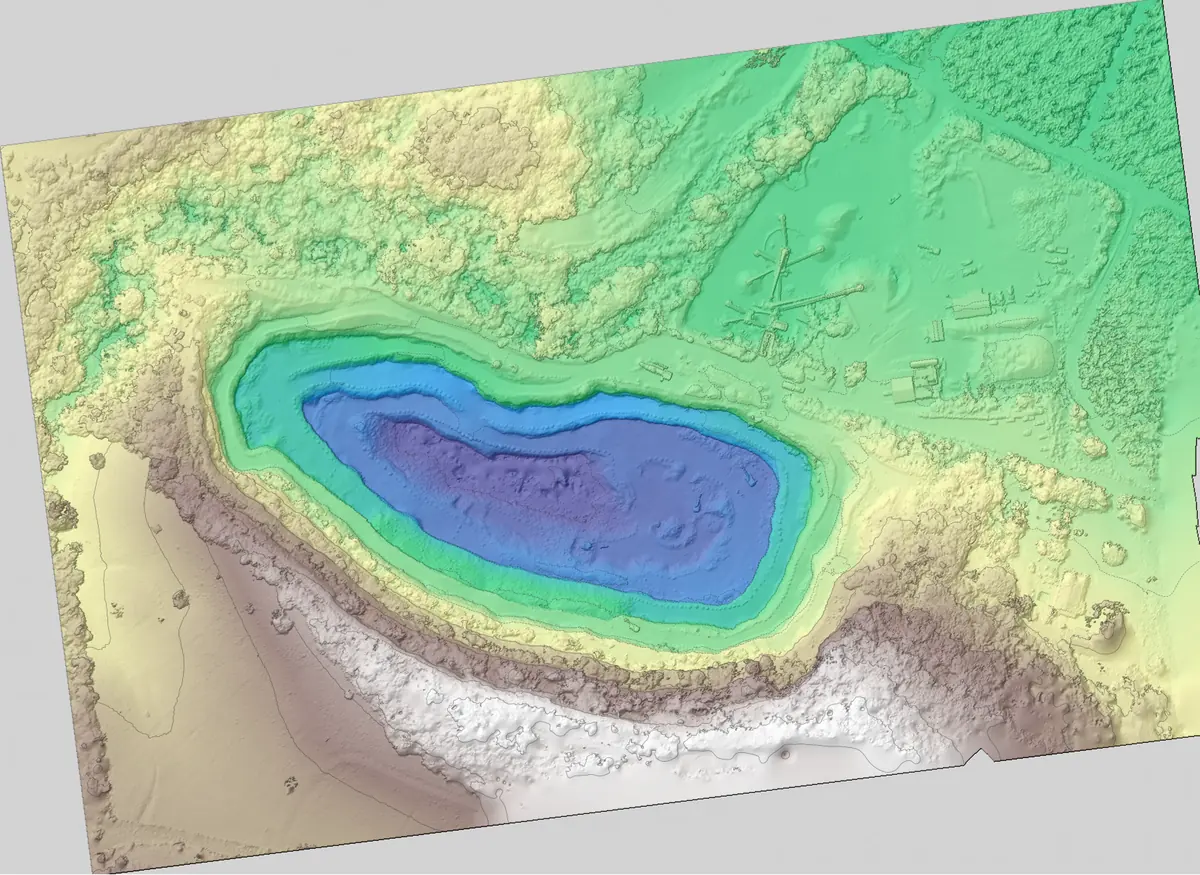
Thousands of images assembled into a dense point cloud, then into digital terrain and surface models. Accuracy checked on points kept out of the computation.
Measurable orthophoto, contour lines, profiles, point grids in your formats — DWG, GeoTIFF, LAS, Shapefile — and 3D visualisation in your browser.
Where we work
Martinique, Guadeloupe, French Guiana and the whole Caribbean down to Central America. Quarries, construction sites, beaches, towns, rivers: years of surveying in tropical conditions. All service areas →
Local presence, ready to deploy
Based locally in the French West Indies, we deploy fast: urgent requests by WhatsApp at +596 696 19 95 82, reply within two hours, quote the same day. We can charter a private aircraft to almost any destination in the region and mobilise nearly the same day. Coverage of up to 1,000 hectares per day (two Matrice RTK drones).
Our automated-detection models — corrosion, deformation, damage, vegetation — are developed in the region, from our own field missions.
Your site, in numbers
Tell us the area and the accuracy you need: we reply with a flight plan, a lead time and a sample deliverable.