Service
Drone orthophoto mapping
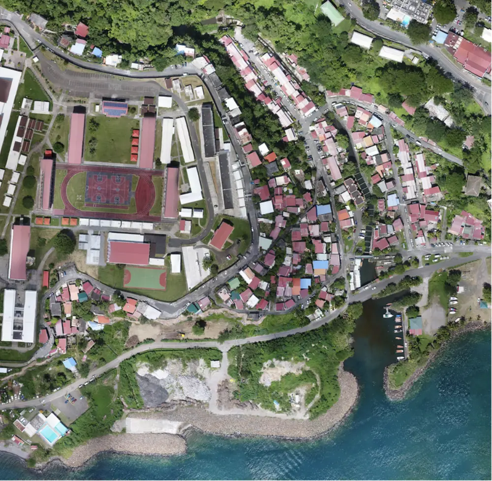
An orthophoto is not an aerial picture: it is a map. Geometrically corrected and georeferenced, it lets you measure distances, areas and change to the centimetre.
An image you can count on
Aerial pictures distort: perspective, relief, tilt. An orthophoto corrects all of it — thousands of images stitched and rectified onto the true terrain — to produce an image that is accurate everywhere. You can measure a plot, count trees or turtle nests, overlay a cadastral plan, compare two dates. It is the documentary basis of your projects and your disputes.
From pictures to map
Dense photogrammetric flight over your area, exposure tuned to your subject — sand, vegetation, roofs — and RTK GPS targets for accuracy.
Stitching, geometric rectification, radiometric balancing. Accuracy checked on independent points, precision report available on request.
High-resolution GeoTIFF ready for your GIS, web tiles you can browse, large-format prints, multi-date comparisons.
Where we work
Martinique, Guadeloupe, French Guiana, the whole Caribbean and Central America. Beaches, towns, quarries, farm plots, disaster areas: years of orthophotos in tropical conditions. All service areas →
Local presence, ready to deploy
Based locally in the French West Indies, we deploy fast: urgent requests by WhatsApp at +596 696 19 95 82, reply within two hours, quote the same day. We can charter a private aircraft to almost any destination in the region and mobilise nearly the same day. Coverage of up to 1,000 hectares per day (two Matrice RTK drones).
Our automated-detection models — corrosion, deformation, damage, vegetation — are developed in the region, from our own field missions.
Your territory, as a map
Tell us the footprint and the resolution you need: we reply with a flight plan, a lead time and a sample extract.