Service
Professional drone pilots in the Caribbean
A cartographer and an engineer, years of technical drone missions, two bases in the French West Indies — and the whole Caribbean as our field of operations.
Beyond aerial pictures
Finding a drone operator in the Caribbean is easy. Finding a team able to turn a flight into usable data — LiDAR point clouds, centimetre-grade orthophotos, 3D models, certified measurements — is not. CARIGE is an airborne technical-imaging company: the drone is only the carrier; the value lies in the sensor, the calculated flight plan and the processing that follows. Down to 0.5 mm resolution for close-range façade and structure inspection; centimetre resolution for topographic mapping.
What a CARIGE mission includes
Needs analysis, choice of platform and sensor (RGB, LiDAR, multispectral, thermal), aviation permits, flight plan computed for the target accuracy — overlap, altitude, ground control points.
Latest-generation multirotor and VTOL drones, collision sensors and parachutes, trained and insured pilots. A full day of traditional inspection fits into one hour of flight, with no scaffolding and no lift.
You do not receive raw pictures: you receive the data that answers your question — maps, measurements, 3D models that open in your browser, report-ready outputs.
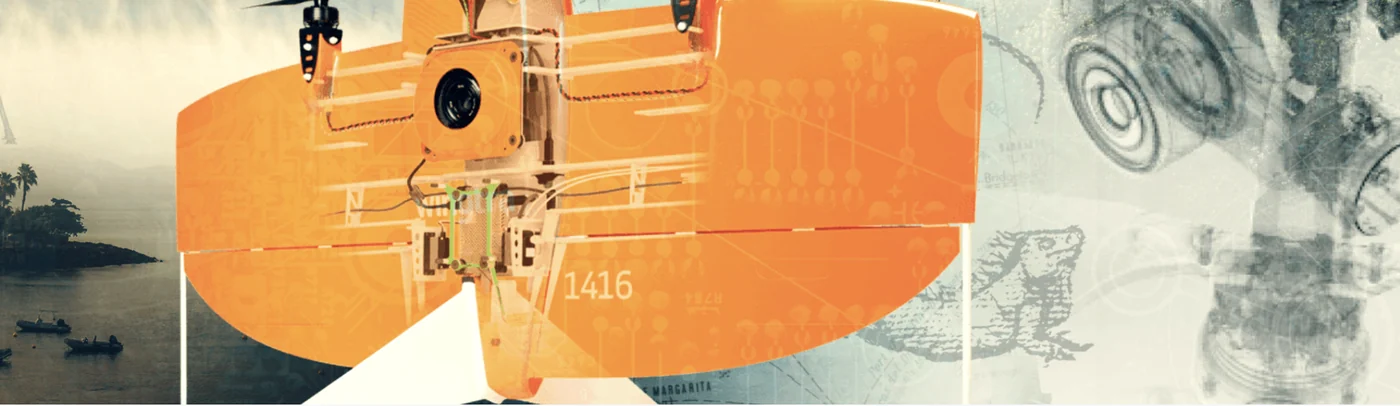
Where we fly
Based in Martinique and Guadeloupe, we operate in French Guiana, across every Caribbean island — from Trinidad to the Bahamas — and in Central America. EDF, the French State (DEAL), BRGM, Colas and GBH trust us with their campaigns. All service areas →
Local presence, ready to deploy
Based locally in the French West Indies, we deploy fast: urgent requests by WhatsApp at +596 696 19 95 82, reply within two hours, quote the same day. We can charter a private aircraft to almost any destination in the region and mobilise nearly the same day. Coverage of up to 1,000 hectares per day (two Matrice RTK drones).
Our automated-detection models — corrosion, deformation, damage, vegetation — are developed in the region, from our own field missions.
Let's plan your mission
Tell us about your site and the data you need: we reply with a method, a sensor and a lead time.