Service
3D digital twins
An exact digital replica of your structure or site: measurable, dated, viewable in a plain browser — the foundation for inspection, monitoring and decision.
Reality, in duplicate
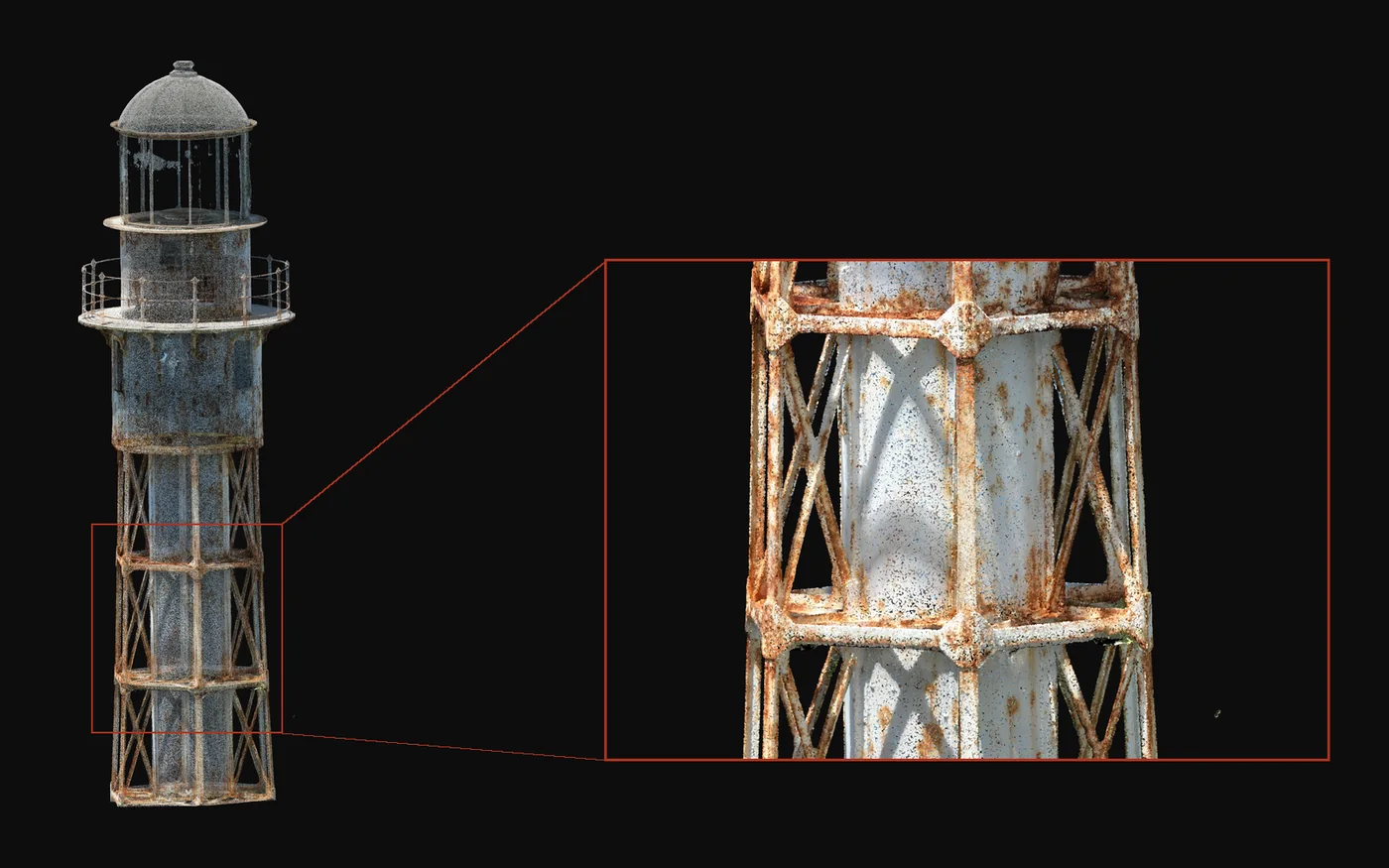
A digital twin is not a pretty 3D image: it is a geometrically exact copy of reality at a given date, on which you measure, annotate and compare. Where a drawing ages and photos pile up without linking, the twin holds the true state of the structure. Repeated at intervals, it becomes a memory: you see what moves, what degrades, what has been repaired.
The CARIGE method
Drone acquisition — photogrammetry for visual detail, LiDAR for geometry under vegetation or in complex volumes. RTK targets to set the model in real-world coordinates.
Reconstruction of the textured, georeferenced 3D model. On request, automated defect detection and element extraction (façades, networks, terrain) directly on the twin.
Model viewable in your browser with no install, shared measurements and annotations, exports to standard 3D formats, date-to-date comparisons.
Where we work
French West Indies, French Guiana, the Caribbean and Central America. Bridges, built heritage, industrial and port sites, quarries: wherever the state of reality must be captured and tracked. All service areas →
Local presence, ready to deploy
Based locally in the French West Indies, we deploy fast: urgent requests by WhatsApp at +596 696 19 95 82, reply within two hours, quote the same day. We can charter a private aircraft to almost any destination in the region and mobilise nearly the same day. Coverage of up to 1,000 hectares per day (two Matrice RTK drones).
Our automated-detection models — corrosion, deformation, damage, vegetation — are developed in the region, from our own field missions.
Your structure, digitally doubled
Describe the structure or site and the intended use: we reply with an acquisition method, an accuracy and a lead time.